
11 days · South
Classic South, Expanded Version
The classic route done properly: Andasibe, Ranomafana, Anja's ring-tailed lemurs, the canyons of Isalo and the reef at Ifaty.
The climb to Pic Boby and the Tsaranoro valley on the park's western edge: how to get there from the RN7, how fit you need to be, how cold the nights get, where you sleep, and how to fit it into a trip down the south.
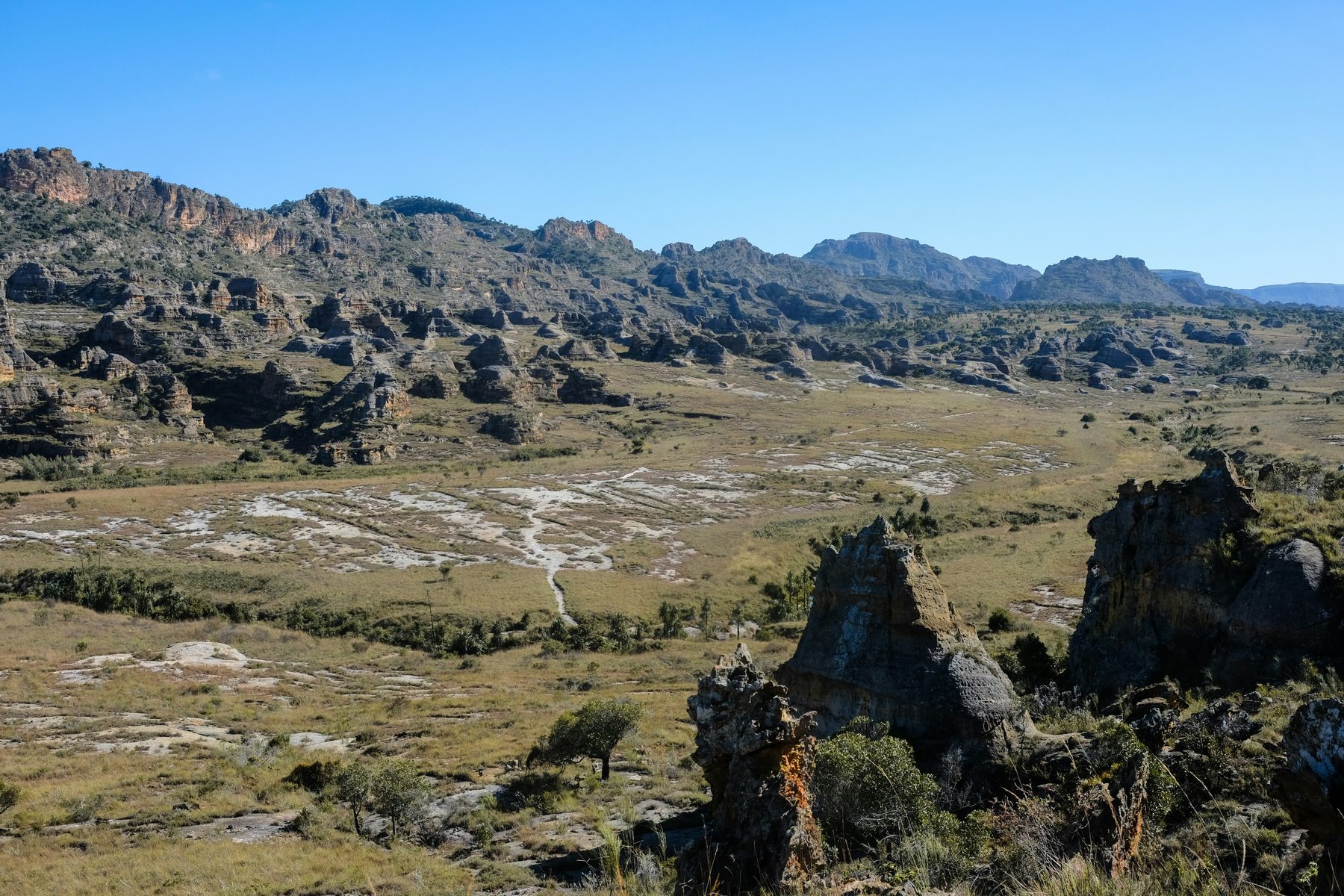
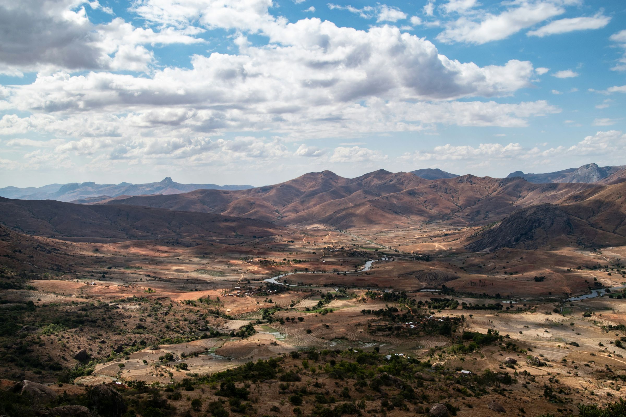
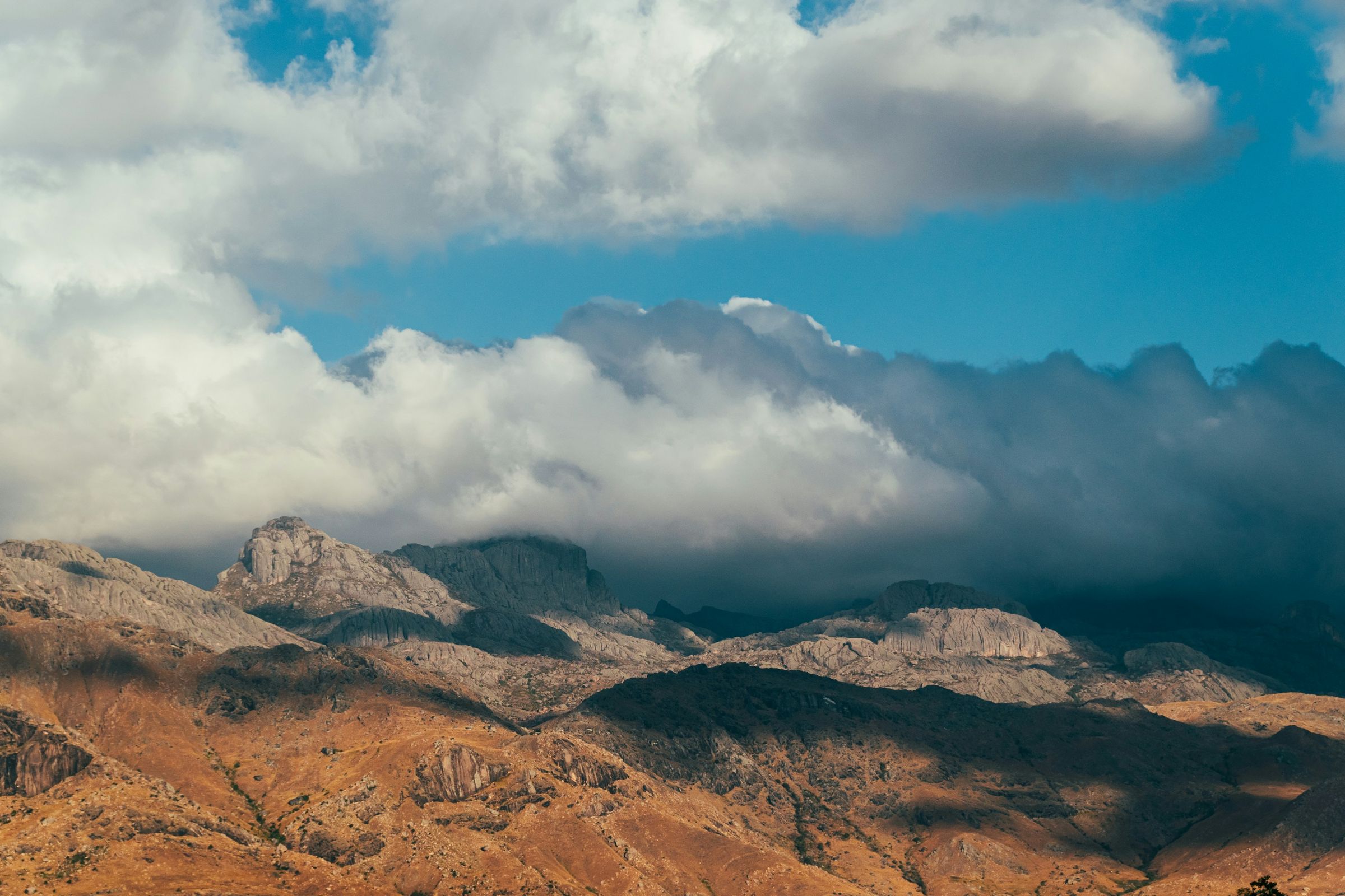
Andringitra National Park is a granite massif in Madagascar's southern highlands, 47 km of dirt track from Ambalavao on the RN7. It's a park for walking: day circuits of four to twelve hours, and the two-day climb to Pic Boby, or Imarivolanitra, which at 2,658 m is the country's second-highest summit and the highest that's accessible to visitors. Just outside the park's western edge, the Tsaranoro valley has rice fields and villages under granite walls up to 800 m high, and ring-tailed lemurs in a sacred forest. Go between May and October, and prepare for possible nights below freezing at altitude.
None of our set trips goes into the park, but two pass close by. The Classic South, from €1,730 per adult, spends a night in Ambalavao after the ring-tails at Anja, and the Ultimate Madagascar Adventure stops there on its way back north. Both are private and can be reshaped, and extra days for trekking are one of the changes we offer on every trip.
If you like walking, yes. Isalo sits right on the RN7 and suits a long day among sandstone canyons. Andringitra is higher and colder, and the best of it takes boots and a warm sleeping bag. It's quieter too: Lonely Planet's French guide says the Tsaranoro valley is often overshadowed by Isalo, though it has dozens of kilometres of trails.
The catch is time. The tracks in are slow, so even a look at the Tsaranoro valley takes two nights, and Pic Boby three or more. Nor is it the place for lemurs alone: for rainforest species, Ranomafana is easier going. With one spare day in the south, give it to Isalo. With three and a liking for mountains, come here.
The park covers 31,160 hectares, with dense humid forest on its eastern side and high grassland on the west. It was first protected in 1927, became a national park in 1998, and has been part of the Rainforests of the Atsinanana World Heritage Site since 2007. Both ways in start from the RN7:
The park recommends a 4x4 for both and warns that the tracks are hard going in the rains, from November to March. There's no way to fly in. Drive in daylight: the UK's travel advice warns of armed robberies on main roads at night and asks for care even in national parks. More in Is Madagascar safe?
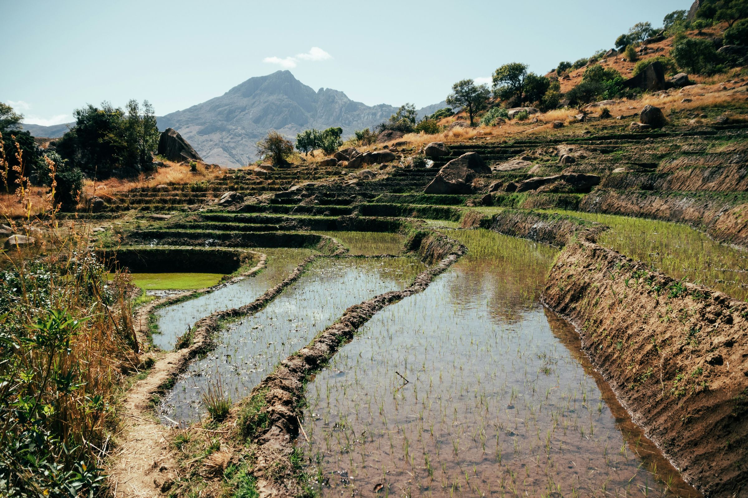
Only Maromokotro in the far north, at 2,876 m, is higher than Pic Boby, and Madagascar National Parks, which also uses its Malagasy name, Imarivolanitra, calls it the highest accessible summit in the country. The park's circuit is 28 km there and back, or a 23 km loop down by the Diavolana circuit, over two days. It's rated moderate to difficult, and the summit needs at least one night at altitude.
Plan the trek with a local guide, and confirm whether porters, tents and food are included in your arrangement. Most of it is steep walking on rough ground, with some easy rocky passages.
How fit do you need to be? You need to be comfortable walking for six to eight hours on steep, rough ground on consecutive days and camping in potentially freezing conditions. If a long day of stairs leaves you sore, do the valley walks instead. They give you the granite without the cold camp.
Tell us your dates and what you would like to see. We reply within 24 hours with a written itinerary and a firm price.
The park's page lists four other circuits, all walked with a local guide. These are its own distances and times:
Allow for steep, rocky ground at altitude.
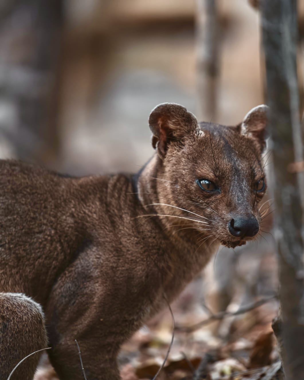
The park counts at least 10 lemur species, 13 in its 2024 figures, among them golden bamboo lemurs and Milne-Edwards' sifakas. They're forest animals, the forest is mostly on the wetter eastern side, and nobody can promise you a sighting. Our national parks guide covers Andringitra alongside the island's other parks.
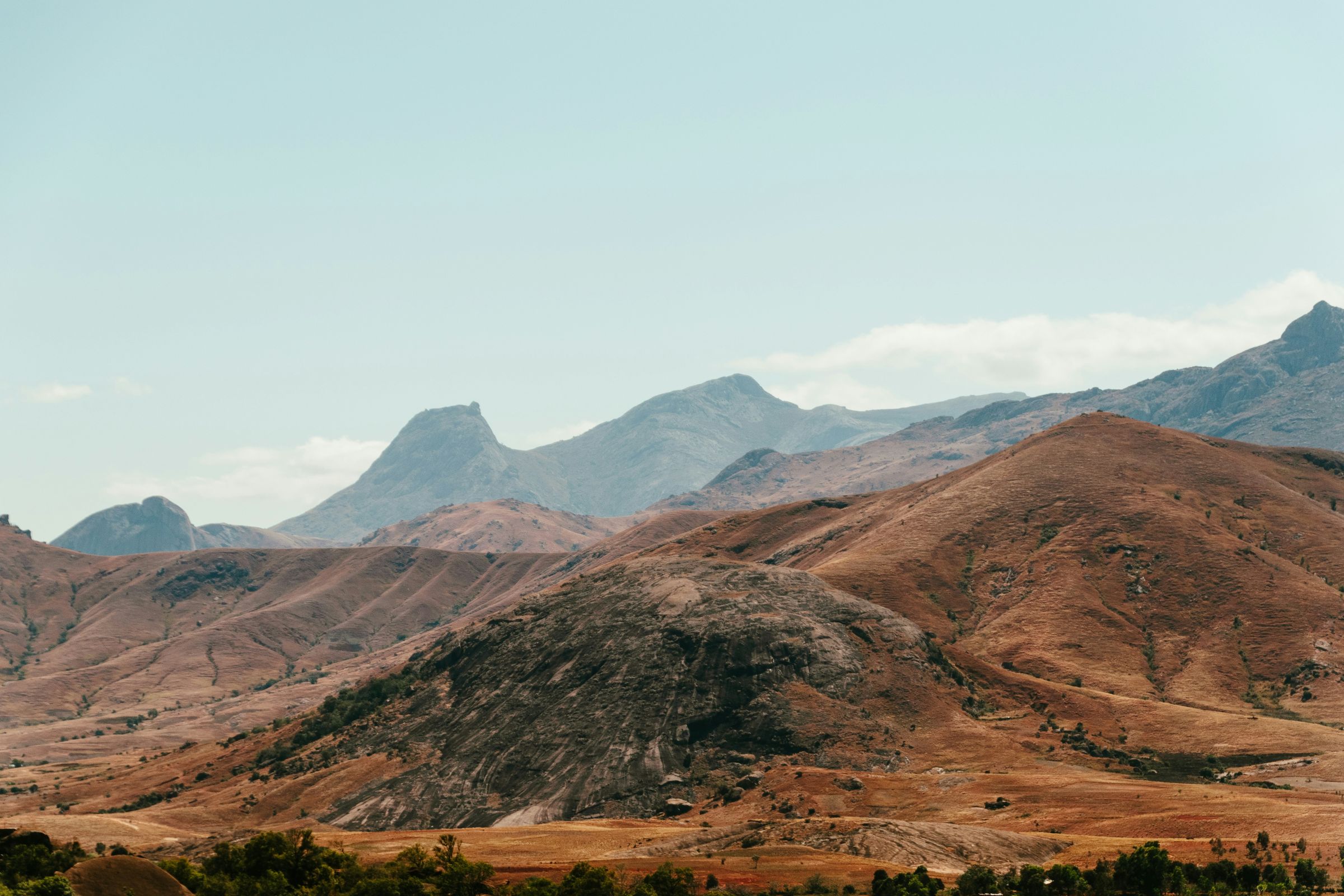
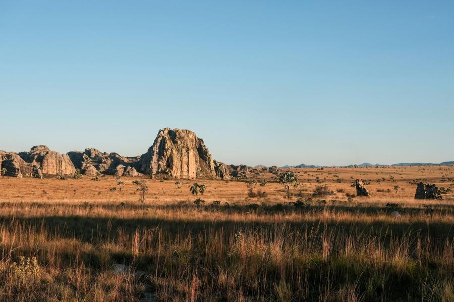
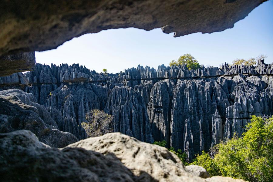
West of the massif, the Tsaranoro valley is rice fields and small villages under a long wall of granite. The east face of Tsaranoro is about 2 km long and up to 800 m high, according to the American Alpine Club's account of a first ascent there in the 1990s, and climbers come a long way for its compact granite.
You don't need to climb to enjoy it. A favourite walk from the valley camps is Le Caméléon, a summit in the middle of the valley: about six hours there and back, with roughly 600 m of ascent, according to Camp Catta, which guides it. Harder walks, such as the circuit of Karambony, the rock face above the camps, use fixed ropes, and one way down is a short abseil.
Several walks start through the sacred forest at the foot of Tsaranoro, the burial ground of the valley's villages. Stay on the path and follow your guide.
The valley's ring-tailed lemurs live in a mix of rock, savanna and that sacred forest. A 2010 University of Victoria study notes that the forest is protected by fady (taboos), and found some groups going more than 400 m out of it to reach a tourist lodge. So keep your distance, and don't feed them. With luck you'll see them early in the morning, warming up in the sun.
A 1996 survey found ring-tails above the tree line at about 2,500 m, a long way from the lowland habitats people usually associate with them.
For ring-tails close up, Anja Community Reserve near Ambalavao is easier, and the Classic South stops there anyway. More in our ring-tailed lemur guide and where to see lemurs.
Unless you're heading straight up Pic Boby from Namoly, you'll probably stay at one of a handful of camps at the foot of the Tsaranoro massif. Expect bungalows or tents on raised platforms, some with their own shower, meals in a shared dining area, and electricity that may run only in the morning and evening. The photo is from Camp Catta. On Pic Boby, use the park campsites.
Two nights in the valley is the least we'd suggest: arrive in the afternoon, walk the next day, leave the morning after. A third night buys a second walk or a slow morning. Evenings at the valley camps are a few degrees above freezing from June to September, according to Camp Catta, so bring a fleece for dinner.
From April to September, Madagascar National Parks warns, temperatures in the park drop well below 0 °C. One valley camp warns its Pic Boby trekkers of minus 10 °C at the plateau camps from June to September.
May to October is the season on our trekking page, and it holds here. For the rest of the island, see the best time to visit Madagascar.
For the plateau camps, bring a sleeping bag good to about minus 10 °C, a warm jacket, a hat and gloves. Add rain gear whatever the month, boots with grip and a way to treat water.
The Classic South spends day 6 between Ranomafana and Ambalavao: the old upper town of Fianarantsoa, an Antemoro paper workshop, then the ring-tails at Anja, with the night in Ambalavao. Day 7 drives on to Ranohira for sunset at the Window of Isalo. Andringitra fits between the two, and the valley track leaves the RN7 on the way to Isalo, so the detour is the track plus the nights you spend there. As a starting point to talk through:
Ask us, and we'll come back with the days and a price. Coming the other way, the Ultimate Madagascar Adventure, from €3,070, reaches Ambalavao on day 16 after Isalo, and the same nights could go there. The rest of the road, stop by stop, is in our RN7 guide.
Park fees change. Confirm the current entry and guiding charges, plus camping and porter costs, in the written quote. Our trip cost guide explains what to include in the budget.
Tell us your dates and how far you want to walk, on the booking form or WhatsApp. A real person in Antananarivo replies, usually within 24 hours, with a written itinerary and a firm price.
Photos: Guillermo Suarez on Unsplash.
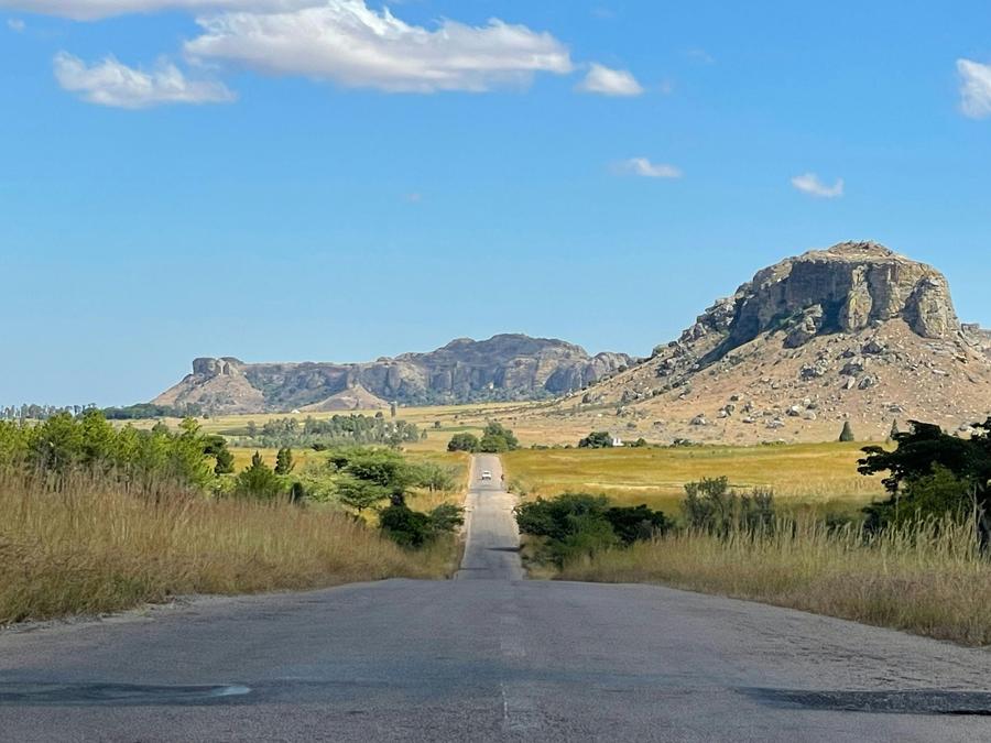
In Madagascar's southern highlands, south of Ambalavao, a town on the RN7 between Fianarantsoa and Isalo. The main entrance, Namoly, is 47 km of dirt track from Ambalavao, usually three to four hours' drive, and a 4x4 is recommended. The Tsaranoro valley, on the park's western edge, has its own track off the RN7 further south.
Two days at least. Madagascar National Parks' circuit to Pic Boby (Imarivolanitra, 2,658 m) is 28 km there and back, or a 23 km loop, with at least one night camping at altitude, and it's rated moderate to difficult. Camps in the Tsaranoro valley run it over three to five days. Arrange a local guide and confirm the camping and porter arrangements before booking.
From April to September, Madagascar National Parks says temperatures in the park drop well below 0 °C, and one valley camp warns of minus 10 °C at the plateau camps from June to September. Evenings in the Tsaranoro valley are a few degrees above freezing then, while the valley floor can be hot by day, so bring layers.
Quite possibly, though nobody can promise it. Ring-tailed lemurs live around the sacred forest in the Tsaranoro valley, and early morning, when they warm up in the sun, gives you the best chance. Madagascar National Parks counts at least 10 lemur species in the park, including golden bamboo lemurs and Milne-Edwards' sifakas. For ring-tails close up, Anja Community Reserve near Ambalavao is easier.
May to October, the dry season. June to August has the coldest nights, and September and October are our pick for Pic Boby. From November to March the rains make the tracks hard going.
Yes, as extra days. The Classic South already spends a night in Ambalavao, and extra trekking days are one of the changes we offer on every trip. Allow about two extra nights for the Tsaranoro valley and a day walk, and three to five for Pic Boby. The trip runs from €1,730 per adult, and we'll quote it with the extra days when you ask.
Private trips with your own vehicle and driver-guide. Every one can be reshaped around your dates.
The classic route done properly: Andasibe, Ranomafana, Anja's ring-tailed lemurs, the canyons of Isalo and the reef at Ifaty.
Three weeks and nearly every landscape the island has: river cruise, Tsingy, baobabs, remote Vezo coast and the southern parks.
Antsirabe to Ifaty stop by stop: 2026 road times, the zebu market day, Ilakaka and Zombitse, night driving, self-drive or a driver-guide, and how many days to allow.

Where ring-tailed lemurs live, how a visit to Anja works, Isalo and the Tsaranoro valley, when babies ride on their mothers' backs, and how close you should get.
How the Isalo walks compare, how many days to give it, when the heat bites, the 2026 park fees and where it fits between Anja and the coast.
Andasibe-Mantadia, Ranomafana, Isalo, the Tsingy, the north and the remote parks: what each is for, how long to give it, the months that work and the trips that go there.
Send your dates and a rough idea. We reply within 24 hours with a written itinerary and a firm price. No deposit to ask a question.