
5 days · West
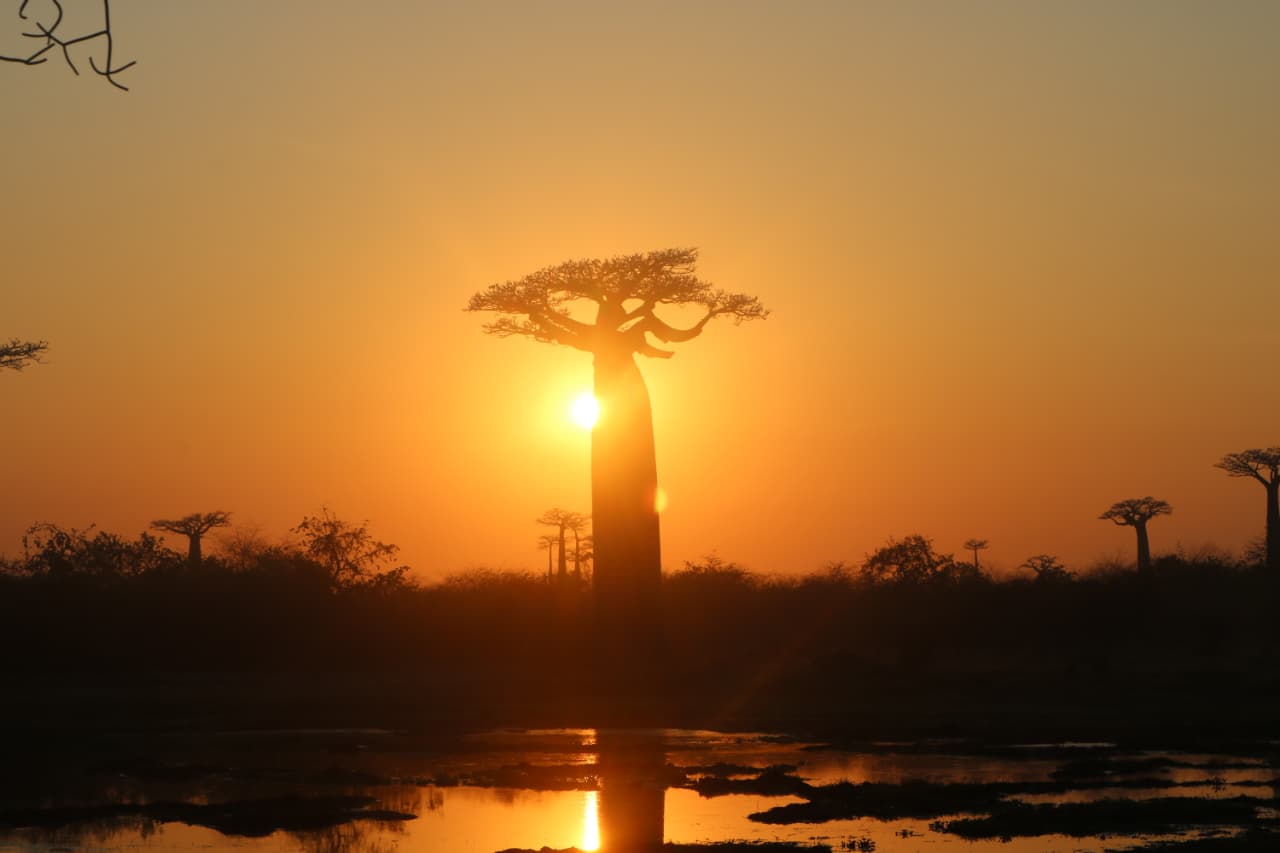
West: Baobabs and Tsingy
Sunset on the Avenue of the Baobabs, a night walk in Kirindy, the Grand Tsingy hike and a canoe on the Manambolo River.
The town on Madagascar's west coast that every trip to the baobabs, Kirindy and the Tsingy passes through. How to get there, what's around it in each direction, when the roads work, and how many nights to give it.
Morondava is a small town on Madagascar's west coast, about an hour's flight from Antananarivo, and the base for nearly everything people come to the west for. The Avenue of the Baobabs is 15 to 20 km out of town, Kirindy Forest about two hours north, and the Tsingy de Bemaraha a long day further up the same dirt road. Come between May and October, when the roads are dry, and plan on a night in town on top of the trip itself.
Few people come for the town itself. All three of our western trips begin or end here.
Morondava sits in the delta of the Morondava river, facing the Mozambique Channel. It's the capital of the Menabe region, with about 53,500 people at the 2018 census, and in the early nineteenth century it was the capital of the Sakalava kingdom of Menabe, before the Merina empire took it over. The Sakalava are still the main people here, and the Vezo, the fishing people of this coast, sail their outrigger pirogues off the beach.
Rough Guides finds it livelier than you'd expect, with more hotels and restaurants than its size suggests, and a little pricier than most Malagasy towns. Most hotels line one seafront lane on Nosy Kely, a strip that was once an island. Get your ariary before leaving town: don't count on finding cash machines on the road north.
The beach is broad and sandy, and it's a working one. Fishermen pull their boats up on it, and Rough Guides warns that it doubles as a toilet. Kimony beach, about 8 km north of the centre, is a less developed alternative. Get current local advice before swimming.
The bigger story is erosion. Rough Guides calls it a serious problem: the northern seafront is often awash at spring tides, and the sandbars offshore form and dissolve all the time. Sea defences have gone in along the front to hold the water back. If you book a seafront room, ask how close the sea comes now. Our guide to the best beaches in Madagascar has the coasts worth a beach day.
Flying is the better use of the days for most people. Our 10-day and 20-day trips use the road only as far as Miandrivazo, then go down the Tsiribihina river. At the time of writing, the UK Foreign Office says armed criminals have boarded boats on the Tsiribihina and robbed passengers, and advises seeking alternative routes. We can reshape either trip without the river, by flying to Morondava and joining the route here.
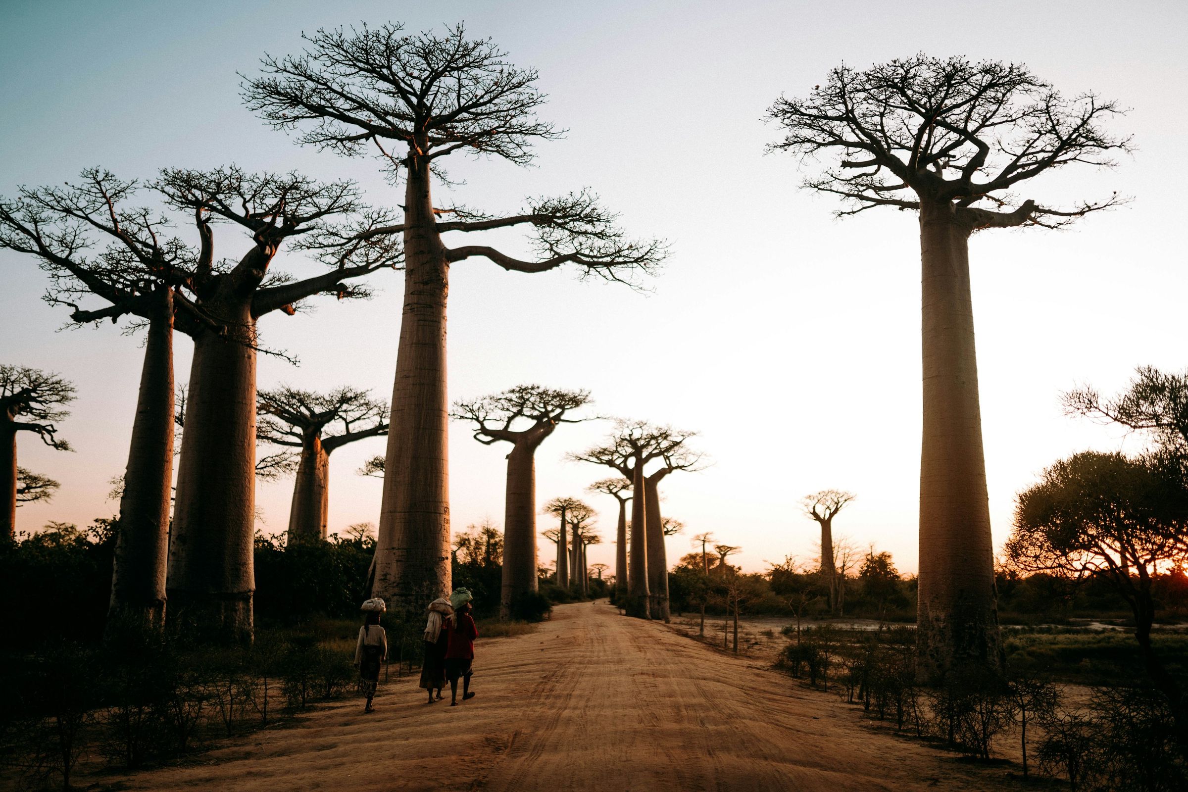
The Avenue of the Baobabs is why most people book the flight: a short stretch of the RN8, 30 to 45 minutes from town, the last part on dirt, and easy by taxi. Our Avenue of the Baobabs guide covers the light, the crowds and the Baobab Amoureux further up the road.
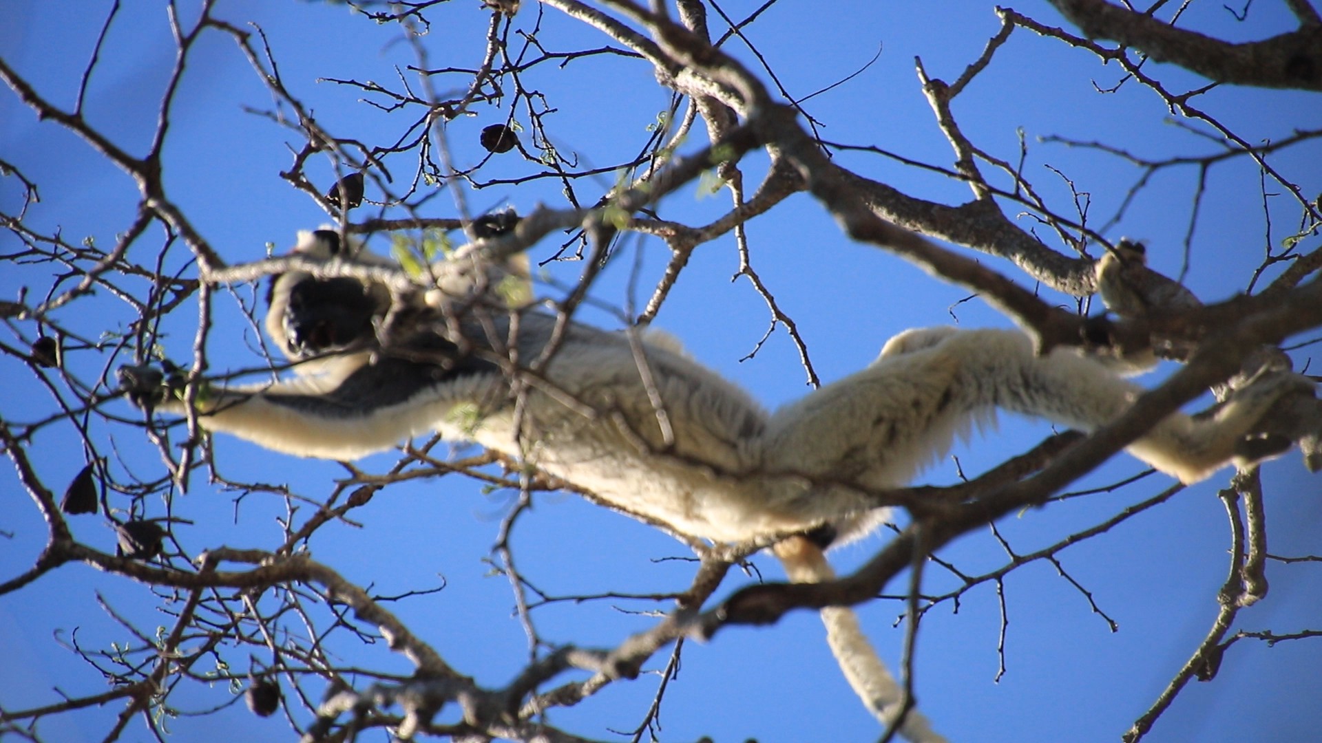
Kirindy Forest is about 60 km north-east of Morondava, roughly two hours' drive, mostly on dirt. It's dry deciduous forest in a forest concession, not a national park, and the German Primate Center has run a research station there since 1993. By day you look for Verreaux's sifakas, white with dark faces, which cross open ground in sideways hops. At night it's mouse lemurs, among them Madame Berthe's, at about 30 g the smallest primate in the world. With luck you might also see the giant jumping rat, found only north of Morondava, or a fossa.
Give Kirindy a night, not a stop. The night walk starts in the early evening and the sifakas are best in the morning, so a day trip from town gets neither at its best. Our fossa guide covers seasonal chances. The lemur safari page covers other forests to consider. Don't confuse Kirindy with Kirindy-Mitea National Park, a much bigger park south of Morondava.
Tell us your dates and what you would like to see. We reply within 24 hours with a written itinerary and a firm price.
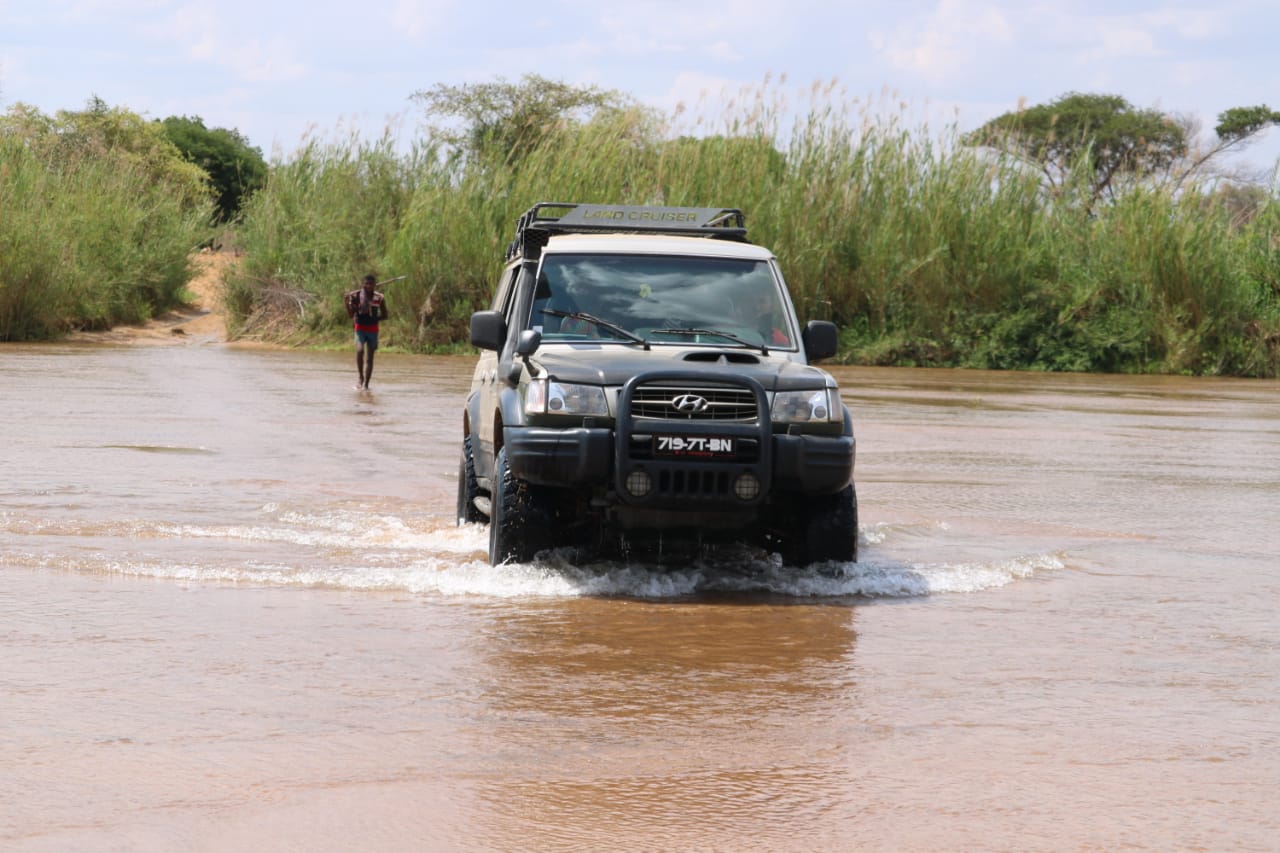
Beyond Kirindy the RN8 carries on to Belo-sur-Tsiribihina, about 98 km from Morondava, and on to Bekopaka, the village at the edge of the Tsingy de Bemaraha. It's about 200 km in all, and only about the first 15 km are paved. Allow a full transfer day in a 4x4, with two river ferries: over the Tsiribihina at Belo, the usual lunch stop, and over the Manambolo near Bekopaka. That's why the 5-day West trip breaks the drive with a night at Kirindy and reaches Bekopaka on the evening of day 2.
The road only works in the dry season. When the rains come, the dirt turns to mud and the rivers rise. Madagascar National Parks describes access difficulties in the rainy season. Plan this route for the dry months and confirm the opening of your intended circuits before booking, particularly in April, May or November. Our Tsingy guide covers the circuits and the safest months for the Grand Tsingy.
At the time of writing, the UK Foreign Office advises using a recognised tour operator between Besalampy and Morombe, which takes in Morondava and the whole road to the Tsingy, because of violent highway robbery, particularly at night. It also advises against driving at night. Our safety guide has the wider picture, and getting around Madagascar compares a driver-guide with self-drive.
South of Morondava the road gives out and the sand tracks begin. Belo-sur-Mer is a village of boat builders, about 90 km south by Rough Guides' count and around four hours by 4x4. It's known for the big wooden sailing boats built on its beach, and it's the way into Kirindy-Mitea National Park, with its dry forest, mangroves, lakes and baobabs. Madagascar National Parks says the park can be reached by 4x4 from May to November, and by sea all year.
Belo-sur-Mer can be cut off by road for up to five months of the rains, and Rough Guides warns that the strong tides there can be treacherous. At the time of writing, the US advisory puts the Menabe region south of Morondava at Level 3, and the UK Foreign Office reports attacks by dahalo, armed cattle thieves, along the coast between Belo-sur-Tsiribihina and Tulear.
Of our set trips, only the 20-day Ultimate Madagascar goes this way: an afternoon with the boat builders, then coastal tracks past dunes, mangroves and Vezo fishing villages to Morombe and Ifaty. If the advice for this coast worries you, we can reshape the route.
The west is a dry-season region. Morondava gets about 710 mm of rain a year, nearly all of it from December to March, and only about 20 mm in the six months from May to October put together (World Meteorological Organization averages, 1991 to 2020). It's hot all year: highs of about 29 °C in July and 31 to 32 °C from October to April.
Our 5-day trip runs from April to November, the 10-day and 20-day trips from May to November. The month-by-month guide covers the rest of the island.
Morondava itself needs one night, usually at the end, because the trips finish with sunset at the Avenue and the flight back is the next day. A second night buys a morning on Kimony beach or a sunrise at the Avenue with no flight to chase. Add more if you want time in the coastal villages.
All three are private, with your own vehicle and driver-guide, and any of them can be reshaped: an extra night at Kirindy, a second in Morondava, or the 10-day trip without the river. Send your dates on the booking page or on WhatsApp, and a real person in Antananarivo replies, usually within 24 hours, with a written itinerary and a firm price.
Photo: Noah Grossenbacher on Unsplash.
On the west coast, in the delta of the Morondava river, facing the Mozambique Channel. It's the capital of the Menabe region, about an hour's flight from Antananarivo or roughly 650 to 700 km by road. The Avenue of the Baobabs is 15 to 20 km north of town, and the Tsingy de Bemaraha about 200 km north on a mostly unpaved road.
Domestic flights take about an hour in the air. Check current operating days before fixing the rest of the route. By road it's roughly 650 to 700 km through Antsirabe and Miandrivazo, 12 hours or more of driving, so two long days. At the time of writing the US travel advisory asks travellers to reconsider one stretch, the RN34 between Miandrivazo and Malaimbandy. For most trips, flying saves two days.
As a base, yes. The town is small, and the main beach is a working fishing beach that the sea is slowly eating away. People come for what's around it: the Avenue of the Baobabs a short drive out, Kirindy Forest for sifakas and night walks, and the Tsingy de Bemaraha a long day north. Kimony beach, about 8 km north, is a less developed alternative; ask locally about swimming conditions.
One night in town, usually at the end, if your route finishes with sunset at the Avenue and a flight the next day. Two nights give you a sunrise too. With Kirindy Forest and the Tsingy de Bemaraha, allow five days from Morondava, which is how our private 5-day West trip runs, from €810 per adult.
About 60 km north-east, roughly two hours' drive, mostly on dirt. Give it a night rather than a day trip: the night walk for mouse lemurs starts in the early evening, Verreaux's sifakas are best in the morning, and with luck you might see a fossa. Kirindy Forest isn't Kirindy-Mitea National Park, which lies south of Morondava.
May to October. There's almost no rain in those months, the dirt roads to Kirindy and the Tsingy de Bemaraha are passable and the park is open. Nearly all of Morondava's roughly 710 mm of rain a year falls from December to March, when the road north turns to mud and the Tsingy closes. It's hot all year, about 29 °C by day in July and 31 to 32 °C from October to April.
Private trips with your own vehicle and driver-guide. Every one can be reshaped around your dates.
Sunset on the Avenue of the Baobabs, a night walk in Kirindy, the Grand Tsingy hike and a canoe on the Manambolo River.
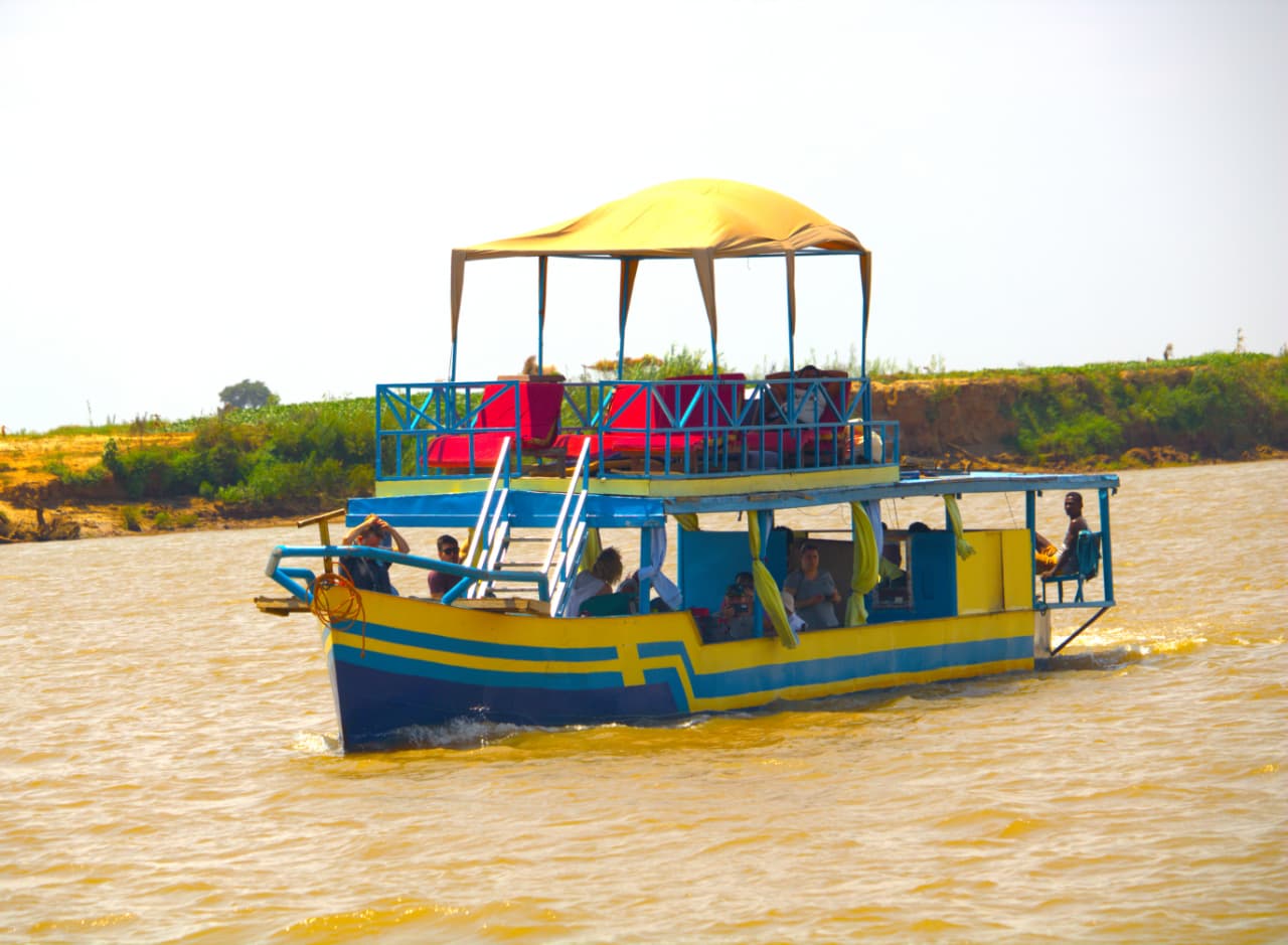
Four days drifting down the Tsiribihina with camps on the riverbank, then the Grand Tsingy, Kirindy's nocturnal forest and the baobabs.
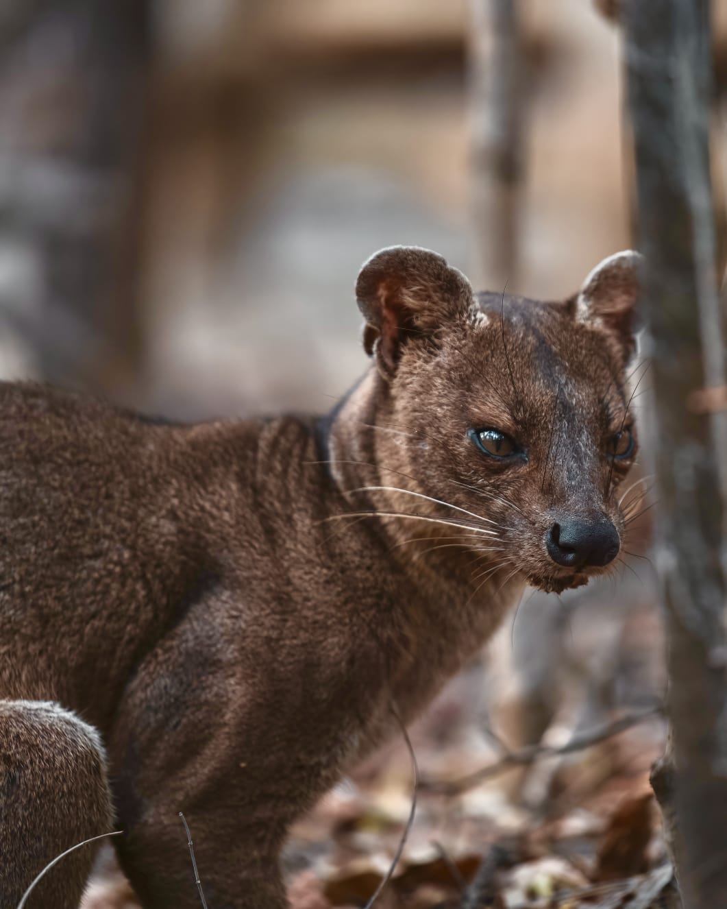
Three weeks and nearly every landscape the island has: river cruise, Tsingy, baobabs, remote Vezo coast and the southern parks.
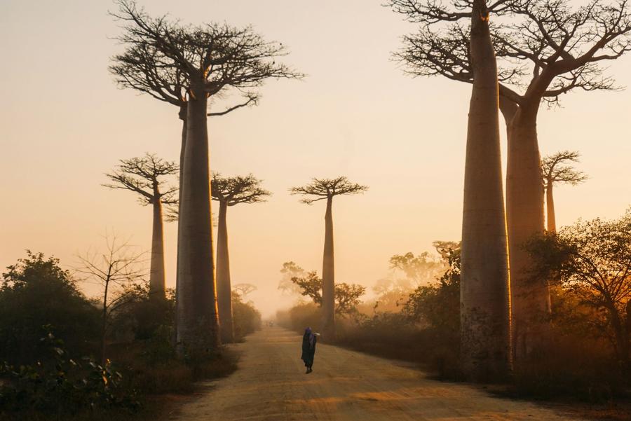
When to go, how to get to Morondava, what the rains change, and how to fit the Avenue in with Kirindy and the Tsingy.
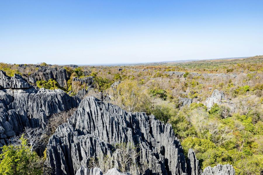
Grand or Petit Tsingy, the road from Morondava, the opening season, what the climbing involves and how many days to allow.
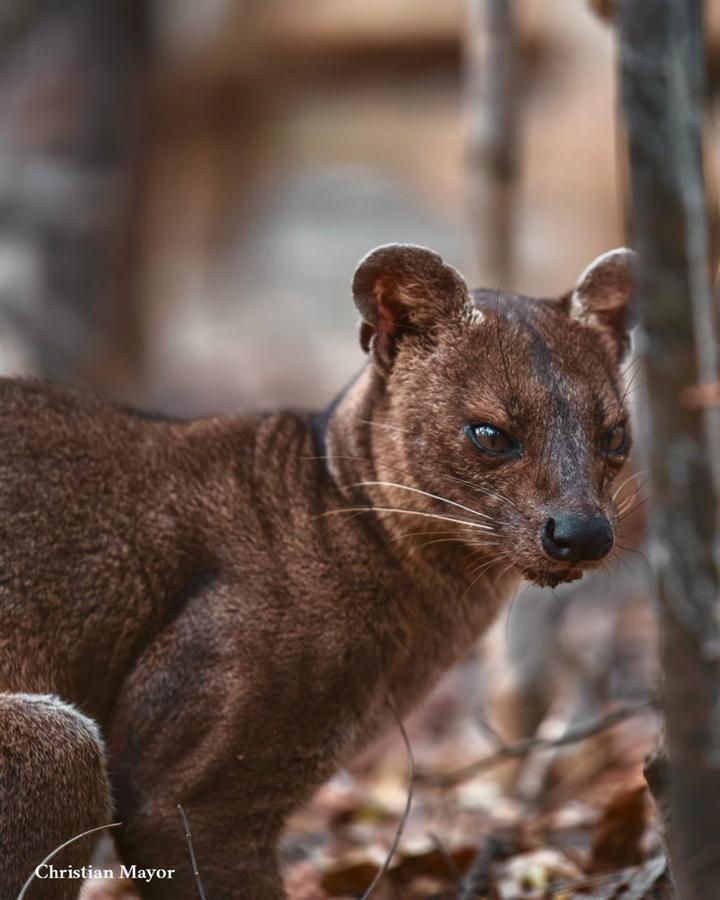
What the fossa is, where and when you have a real chance to see one, and how Kirindy Forest fits between the baobabs and the Tsingy.
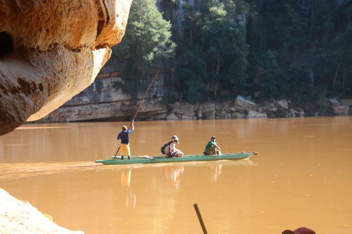
The Tsiribihina descent from near Miandrivazo to Belo: barge or pirogue, sandbank camps, the gorge, the season, the safety advice and how it leads to the Tsingy.
Send your dates and a rough idea. We reply within 24 hours with a written itinerary and a firm price. No deposit to ask a question.